Know what a property allows.
Zoning, planning and GIS reports for any address in 41 Ontario municipalities. Every finding cites the by-law section, policy or map layer it came from.
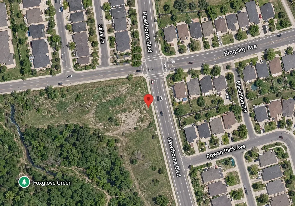
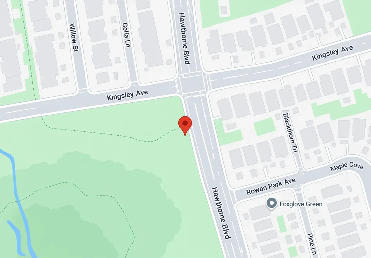 Wellhead protection (WHPA-Q)Archaeological potentialR2-3Residential TwoRear yard 6.06 m7.0 m required, relief sought
Which report do you need?
Every report starts from an address. Only the Planning Analysis needs your site plan, because it tests a specific proposal.
| Quick LookupFreeno account | Zoning Review Letter$0.50or 1 credit | GIS Analysis$1.50or 3 credits | Planning Analysis$2or 4 credits | |
|---|---|---|---|---|
| Zoning | ||||
| Zone and governing zoning by-law | ||||
| Exceptions and holding (H) provisions | ||||
| Uses the zone permits | ||||
| Zone standards: lot size, setbacks, height | ||||
| Policy and mapped constraints | ||||
| Official Plan, secondary plan and growth areas | ||||
| Greenbelt and Oak Ridges Moraine plan areas | ||||
| Regulated area, floodplain and natural heritage | ||||
| Source water protection areas | ||||
| Heritage status and archaeological potential | ||||
| Roads, transit and mapped municipal servicing | ||||
| Development applications on and near the lot | ||||
| Your proposal | ||||
| Provincial and Official Plan policy tests | ||||
| Zoning compliance of your site plan and parking | ||||
| Approvals, agency review and next steps | ||||
| What you need and what you get | ||||
| You provide | An address | An address | An address | Address and site plan |
| You get | An answer on screen | A short zoning letter | A site screening report | A full planning analysis |
No report covers building permits, work orders, property standards orders or legal non-conforming status.
How a report is checked
See where each finding comes from
Each check puts what the drawing shows next to what the by-law requires, and names the document behind both.
Sources used in this report
- Zoning By-law 2019-061
- Linden Vale Official Plan
- Rowan Park Land Use Plan
- Town GIS layers
- ARCA regulation limit
- Source protection mapping
- Provincial plan areas
- Site plan
- Building elevations
- Planning justification report
- By-law
- Plans
- Map layers
- Drawings
| Number | Check | The drawing shows | The by-law requires | Result |
|---|---|---|---|---|
| 1 | Height, roof mid-point | 10.34 mBuilding elevations | 12.0 m max.By-law 2019-061, Table 7E | Complies |
| 2 | Front yard, lane frontage | 4.35 mSite plan | 4.0 m min.By-law 2019-061, Table 7E | Complies |
| 3 | Resident parking | 46 spacesSite plan | 32 requiredBy-law 2019-061, Table 5A | Complies |
| 4 | Rear yard, west boundary | 6.06 mSite plan | 7.0 m min.By-law 2019-061, Table 7E | Relief sought |
| 5 | Lot frontage, front-lane unit | 4.71 mSite plan | 6.0 m min.By-law 2019-061, Table 7E | Relief sought |
| 6 | Visitor parking | 0 spacesSite plan | 2 to 4By-law 2019-061, Table 5A | Deficiency |
The finished report
The opening pages of the sample Planning Analysis for 5-13 Kingsley Avenue, from the bottom line to the zoning check.
Cities we cover
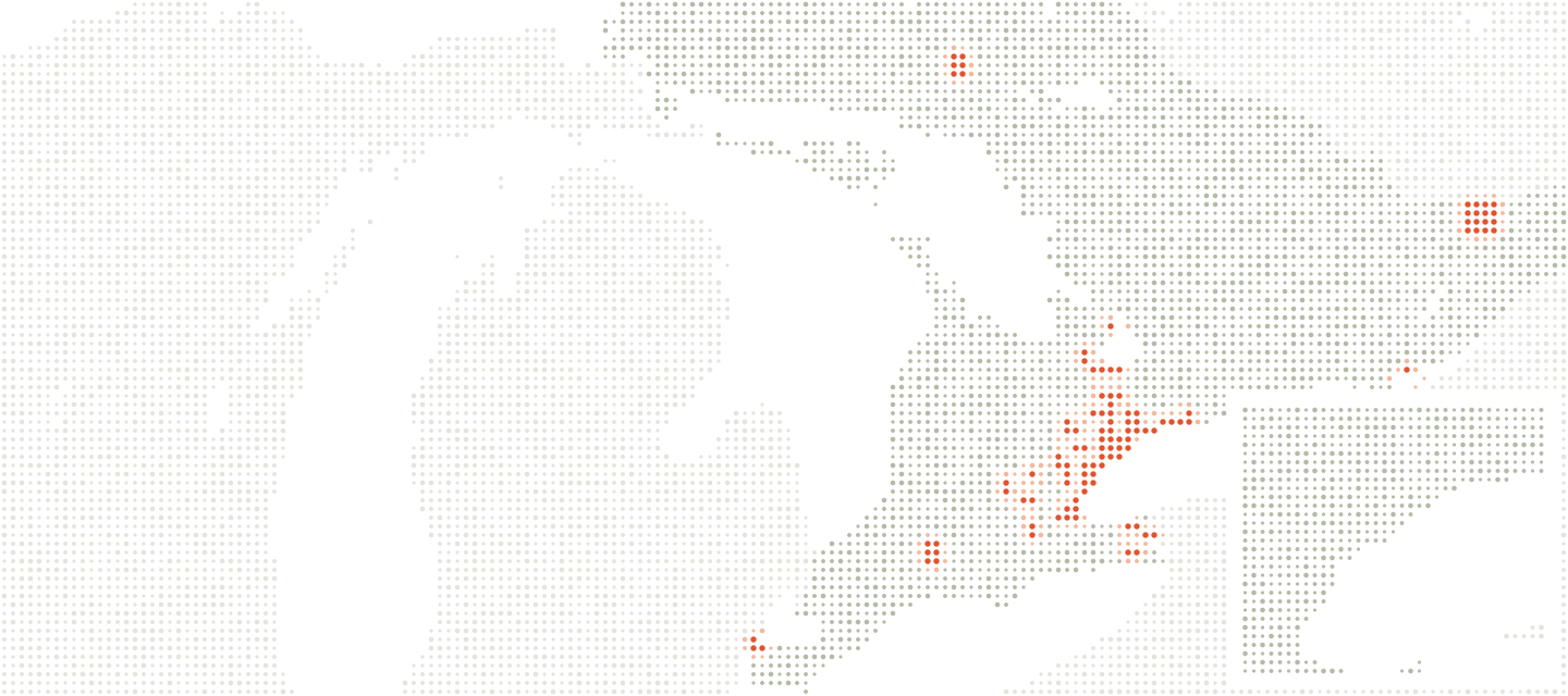
Each municipality is set up with its own zoning by-law, Official Plan and map layers, plus the conservation authority and provincial plans that apply there.
41municipalities, from Windsor to Ottawa
See what each city covers- Ajax
- Aurora
- Barrie
- Bradford West Gwillimbury
- Brampton
- Brantford
- Burlington
- Caledon
- Cambridge
- Clarington
- East Gwillimbury
- Georgina
- Greater Sudbury
- Guelph
- Halton Hills
- Hamilton
- Innisfil
- King
- Kingston
- Kitchener
- London
- Markham
- Milton
- Mississauga
- Newmarket
- Niagara Falls
- Oakville
- Orillia
- Oshawa
- Ottawa
- Pickering
- Richmond Hill
- St. Catharines
- Thunder Bay
- Toronto
- Vaughan
- Waterloo
- Welland
- Whitby
- Whitchurch-Stouffville
- Windsor
Your first reports are free.
Create an account and get 15 credits, enough for 3 Planning Analyses or 5 GIS Analyses. No card needed.
41 Ontario municipalities covered